
Grand Junction ZIP Code Coverage
The City of Grand Junction GIS map exposes a ZIP-area layer alongside property, zoning, parks, public safety, transportation, utilities, and other map layers. The reviewed legend showed 81501, 81503, 81504, 81505, 81506, 81507, 81520 through 81527, 81624, 81630, 81643, 81646, plus 815XX and 816XX display values. The first group is useful local context. The wider set reaches the broader Mesa and Grand Junction area and must not be labeled city-only without an exact USPS check.
The table reports what the local source actually supports. The delivery-city and post-office columns remain a live verification task because a complete USPS-derived mapping was not captured in the research pass.
| ZIP value | Area in reviewed GIS source | Post office or delivery note | Search caution |
|---|---|---|---|
| 81501 | Grand Junction-area value | Verify exact delivery city and post office with USPS | Do not infer city limits from the ZIP |
| 81502 | County office PO Box mailing value | PO Box or mailing use observed; verify role | Mailing ZIP is not a physical parcel |
| 81503 | Local or Grand Junction-area value | Exact delivery detail requires USPS | Check address and jurisdiction together |
| 81504 | Local or Grand Junction-area value | Exact delivery detail requires USPS | Do not turn a layer value into a roster |
| 81505 | Local or Grand Junction-area value | Exact delivery detail requires USPS | Preserve the address search date |
| 81506 | Local or Grand Junction-area value | Exact delivery detail requires USPS | Use parcel and city labels separately |
| 81507 | Local or Grand Junction-area value | Exact delivery detail requires USPS | Check municipal boundary by parcel |
| 81520-81527 and 81624/81630/81643/81646 | Adjacent regional values in the GIS legend | Not asserted as city-limit coverage | Verify one exact address at a time |
Do not publish 815XX or 816XX as individual ZIPs. They are catch-all display values in the reviewed legend, not deliverable ZIP records.
USPS Delivery Labels for Grand Junction
The USPS ZIP Code Lookup is the authority for an exact street address, delivery city, ZIP, and ZIP+4 result. The text research did not capture the full current result screen, so the lookup should be run at the moment an address is checked. Save the returned delivery label with the source date. A county office may use a PO Box ZIP while a physical parcel receives mail under another value.
Put USPS beside the municipal layer, not above it. The postal city can differ from the incorporated city, county jurisdiction, or map service area. An address can carry a Grand Junction postal label while the parcel lies outside city limits, or a city parcel can use a nearby delivery label. That is a geography fact, not an error.
Open the USPS ZIP Code Lookup before viewing the capture below; an exact address is needed before a ZIP is assigned.
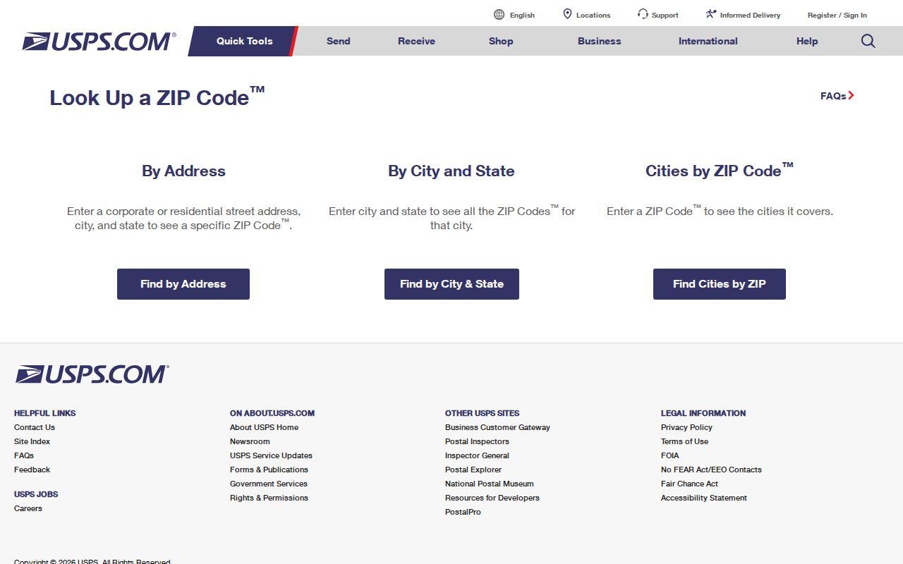
The capture shows the delivery route. Mesa GIS and the assessor answer the parcel and jurisdiction question.
- ZIP code
- A postal delivery area used by USPS. It is not a legal city boundary.
- ZIP+4
- The longer delivery code returned for a more exact address when USPS supplies it.
- PO-box ZIP
- A ZIP used for a mailing address or post-office box. It may not describe a physical parcel.
- ZCTA
- A Census statistical approximation built from address data, not a USPS delivery route.
The 81502 Grand Junction Mailing Clue
81502 appears in official Mesa County office mailing addresses as a PO Box value. It is a useful reminder that a public contact address and a property location answer different questions. A person or office can receive mail through 81502 while a parcel, street, or city service record uses another ZIP. The ZIP code directory should retain the mailing value rather than forcing it into the physical address field.
When an address record contains both a location and a mailing address, copy both exactly. Then use USPS for the location, the assessor for the parcel, GIS for jurisdiction, and the city or county custodian for the underlying record. A mailing ZIP can help find the right office or name variant, but it cannot prove a person lives at the related location.
Note: The county's 81502 mailing use is documented, but the reviewed sources do not establish a complete post-office or delivery-city table for every Grand Junction-area ZIP.
Finding Residents by ZIP Code
A ZIP code search should narrow a known person or address, not promise a ZIP-wide resident export. The Colorado voter lookup requires ZIP as one of its four individual fields, with first name, last name, and birthday. The Mesa Assessor address form does not expose a ZIP filter in the observed screen. Mesa's voter report form filters district, precinct, party, status, and phone inclusion, not ZIP. The city GIS ZIP layer is visual context.
- Run the exact address through USPS and save delivery city, ZIP, and ZIP+4 if returned.
- Compare the address with the Mesa Assessor location field, parcel, account, and report date.
- Use GIS District Lookup to label city, county, municipality, precinct, and service context.
- Use the Colorado voter lookup only for the named individual and required birthday fields.
- Once the ZIP narrows to a street, follow the Grand Junction by-street record trail for parcels, deeds, permits, and aliases.
A missing voter match can reflect a changed ZIP, a spelling difference, a protected record, or an under-18 record. A map layer cannot fill that gap. Record the exact stopping point and move to the named custodian.
| ZIP-capable route | Observed fields or limit |
|---|---|
| Colorado voter lookup | First name, last name, ZIP, birthday month, day, and year; individual use only. |
| Mesa Assessor | No ZIP filter observed; use standardized address, parcel, account, neighborhood, intersection, place, or map. |
| Mesa voter report | District, precinct, party, status, phone, report code, and map choices; no ZIP selector observed. |
| City GIS | ZIP-area layer and address or parcel map context; exact delivery must come from USPS. |
Grand Junction ZIP Layers on GIS
The city GIS entry displays ZIP areas beside property, zoning, public safety, parks, transport, and utility layers. The county GIS viewer and District Lookup can then test the exact parcel against jurisdiction, municipality, voting precinct, school district, service provider, floodplain, wildfire, and other overlays. The two map systems can overlap the broader Mesa County area without turning every visible ZIP into an incorporated-city ZIP.
A clean map workflow starts with an address or parcel, turns on the ZIP area layer, and then records the jurisdiction label separately. If the map is used to select nearby parcels, confirm the account and legal description in the assessor report. Map color, a point location, or a neighborhood label is not a postal proof, title proof, or resident list.
Open the Mesa District Lookup before viewing the capture below; it demonstrates parcel-to-district context that a ZIP label cannot provide.
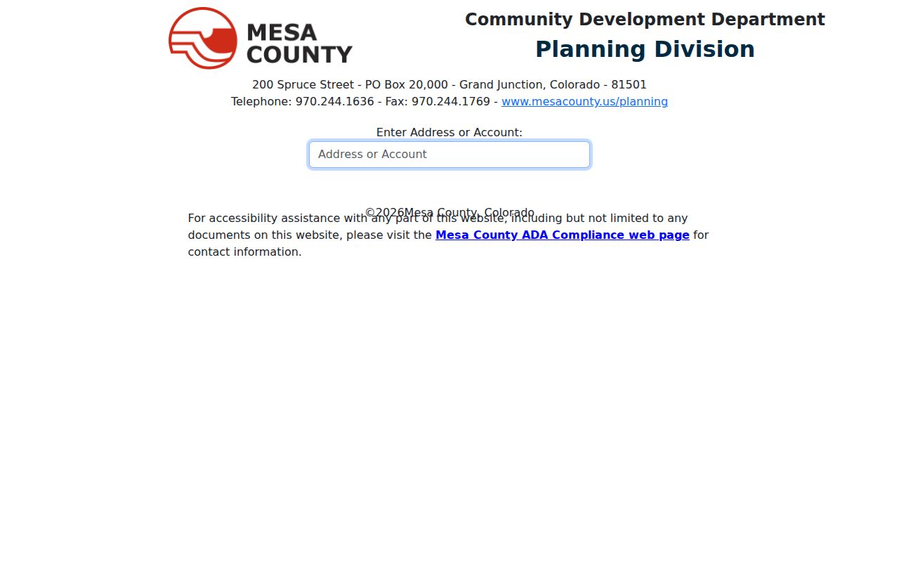
Preserve the map date and layer name when boundaries matter.
Assessor Searches After ZIP Filtering
After USPS supplies a ZIP, the assessor still needs a street or parcel key. Its address route accepts two street inputs, area or township, and neighborhood. The parcel route accepts a 15-digit dashed value and exposes township, range, section, quarter, block, and lot paths. Account search opens a parcel report. Intersection and place-name routes can help when a postal label is broad.
The report may show location, associated addresses, mailing, owner or joint owner, neighborhood, previous or linked parcel, approximate coordinates, legal description, TAC, and report date. Keep the ZIP in a postal field and the location address in a situs field. If the source displays a mailing PO Box, do not place it in the street field or call it a resident location.
Sales, permits, and deeds use their own address or parcel fields. The current permit route may require an account, while pre-1988 OnBase supports a public search. A ZIP code directory that promises one portal to answer all address questions would blur these access limits.
ZIP, ZCTA, and Grand Junction Census Data
Census geography helps describe population or land area, but it does not assign mail. Census explains that a ZCTA is a generalized statistical area built from Census address data. A ZCTA is not a USPS route and is not a legal city line. Use the incorporated-city geography label and date with every number.
Grand Junction QuickFacts reports 65,560 people at the April 1, 2020 Census, an estimated 70,554 at July 1, 2024, 58,566 at the 2010 Census, 39.63 square miles of 2020 land area, and 1,654.1 people per square mile in 2020. These are city statistics. They are not counts of names in a ZIP code directory, a current postal roll, or a parcel file.
Open the Grand Junction QuickFacts before viewing the capture below; it keeps the city geography and date visible.
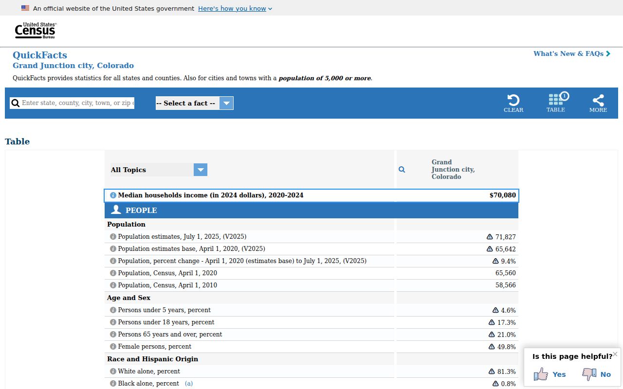
Use the QuickFacts capture for context, never as an address-level resident lookup.
Open the Census ZIP guidance before viewing the next capture; it explains why a ZCTA cannot replace an exact USPS result.
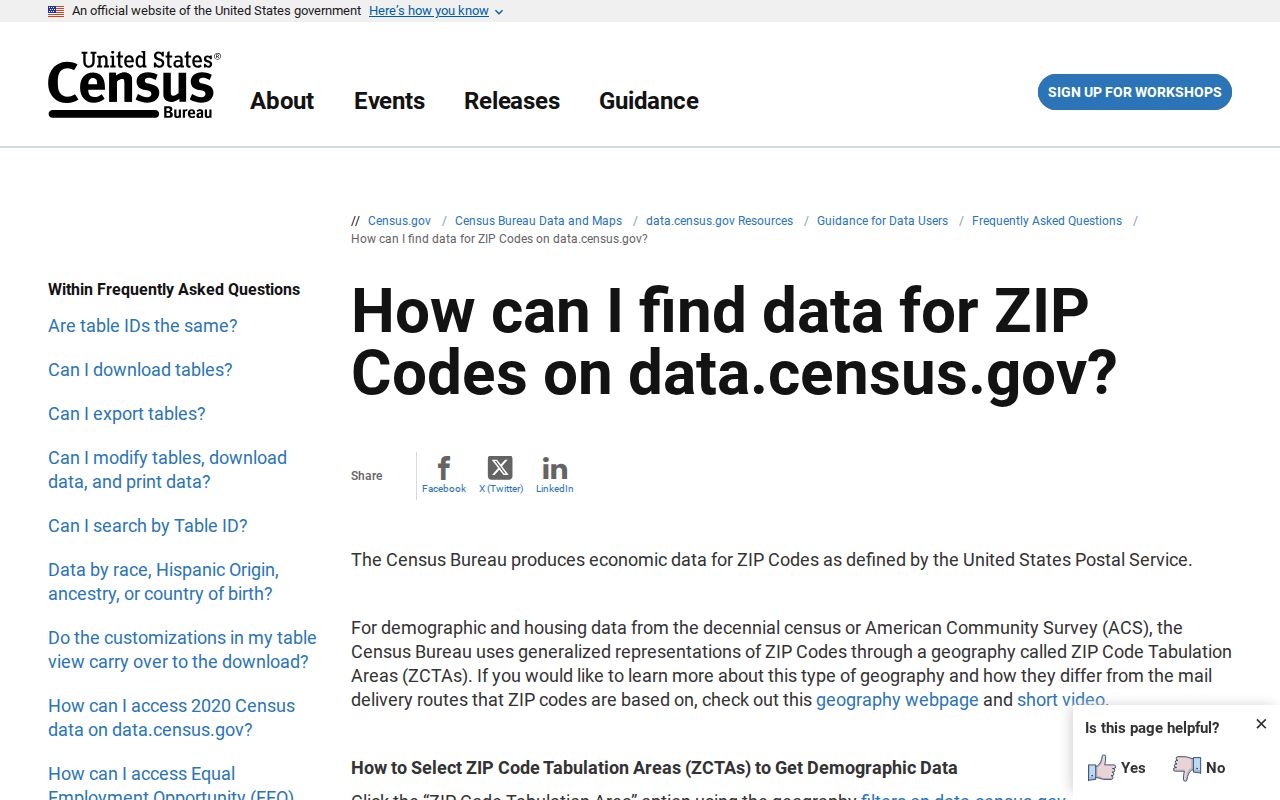
The guidance capture keeps the statistical and delivery geographies separate.
ZIP Code Boundaries and Grand Junction Limits
A postal label can cross a municipal boundary, and a city map can display regional ZIP values beyond the incorporated city. Mesa GIS District Lookup identifies municipality and jurisdiction. The city map identifies ZIP-area layers. USPS identifies delivery. Census identifies statistical geography. The record trail is sound only when those labels remain separate.
Historic sources may omit ZIP entirely or use an older postal label. Normalize a historic address with the city street index, road aliases, Sanborn sheet, city survey, assessor parcel, and recorder description. Do not use a current ZIP to back-project a household or road name. A ZIP code directory is most useful when it records uncertainty instead of hiding it.
Boundary rule. Put the USPS delivery result beside the city and county jurisdiction. Neither one can stand in for the other.
- Carrier route
- A delivery-route concept within postal operations. It is not a public household directory.
- Unique ZIP
- A ZIP associated with a single institution or special delivery use. No local unique-institution ZIP was established in the reviewed research.
- Postal city
- The city label returned or used for delivery. It can differ from a municipal boundary.
Verify Each Grand Junction Address
Before publishing or relying on a ZIP-linked resident clue, save the exact address, USPS result, parcel or account, city and county labels, map jurisdiction, source URL, and retrieval date. If the address is historic, save the old road spelling and the directory or Sanborn page. If the name is protected or the portal ends, record the custodian and the formal request route instead of filling the gap.
The reviewed research did not establish a complete USPS table for every ZIP and post office in the wider Grand Junction area. That is a reason to verify address by address, not to label regional GIS values as city-only coverage. It also means a ZIP code directory should show the source type beside each coverage statement.
When the ZIP narrows the question to one street, use the address record chain. When it narrows the question to one person, use the name and record ladder. When it points to a past household, use the city directory and property history collections.