
Sources for Grand Junction Previous Residents
A backward address trail needs sources from different eras. The table starts with the current parcel and reaches into recorded deeds, directories, maps, permits, surveys, archives, and local newspapers. Years are reported as the research found them. Individual directory years and complete USPS-style address runs still need live verification.
| Source | Years located | Where held | What it shows |
|---|---|---|---|
| Mesa Landmark | 1883-present description | County Recorder online and office | Reception index, document, parties, legal and image routes |
| Mesa State Archives deed series | 1886-1912; older 1883-1891 series | Colorado State Archives | Historic deeds, stock brands, series context |
| Polk city directories | Library 1902 lead; survey 1904-1975 | History Room, Ancestry, surveys | Names, addresses, occupations, offices, household clues |
| History Colorado Polk catalog | About 1935-1973 | History Colorado | Cataloged span and nearby locality notes |
| Sanborn maps | Local survey 1898-1926; LOC 1919 | Library of Congress and surveys | Street, building, mapped use, footprint context |
| Permits and surveys | Pre-1988 and 1988-present routes | Mesa and Grand Junction custodians | Applications, permits, certificates, and named-building crosswalks |
| Newspapers and cemetery | Daily Sentinel 1893-present; cemetery digitization ongoing | Library, CHNC, city portal | Obituary, public notice, interment, and date clues |
The source span is a map, not a continuous list of every person who lived at an address. A prior household can be missed because of an address change, directory gap, parcel split, unindexed file, or restricted record.
Start at the Mesa Parcel
Begin with the exact current address in the Mesa Assessor Property Lookup. Save parcel and account number, location and associated addresses, mailing address, owner or joint owner display, neighborhood, legal description, TAC, approximate coordinates, report date, and previous or associated parcel links. The report is a planning and reference tool, so it guides the deed search without replacing a recorded instrument.
Separate location from mailing. A PO Box or a mailing city does not tell who occupied the property. If a parcel was split or merged, the previous and associated fields may explain why an old deed or directory address no longer appears under the current number. The GIS viewer and District Lookup can add jurisdiction, zoning, subdivision, service, and district context.
Property Fraud Alert is a different tool. Mesa allows a person or business to register a name, verify an email, edit or unregister, and receive an alert when a land document is recorded with that name. It does not block a filing and does not prove fraud.
Open the Mesa Property Fraud Alert before viewing the capture below; a record alert and a house-history search answer different questions.
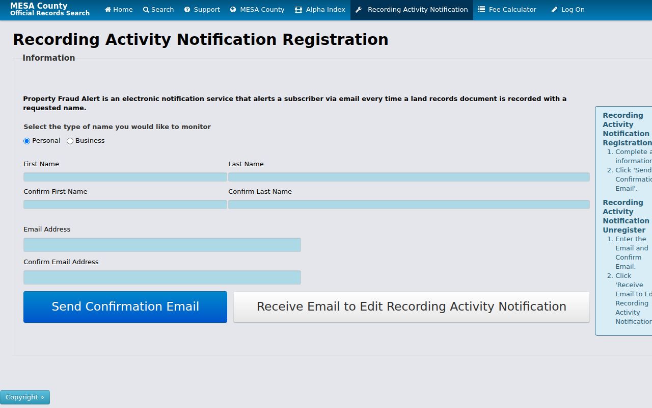
The alert belongs beside the parcel step because it does not block a filing or prove fraud.
Grand Junction Deed Index Trail
Use the Mesa Landmark recorder to work backward by party, document type, town, date, legal text, book and page, or reception number. Search the current assessor owner as a grantor or grantee, then inspect the result's instrument type before calling that party a past owner. A grantor conveys or releases an interest. A grantee receives one. A deed index row may point to a deed, deed of trust, quitclaim, lien, easement, plat, affidavit, or correction.
- Capture the current parcel, account, location, legal description, and report date.
- Search Landmark with the party name, town, and a date range, then try the legal or reception route.
- Record reception number, recorded date, book or page, document type, parties, legal description, and image status.
- Read the instrument or request the official copy, then compare its legal description with the parcel and prior instrument.
- Repeat with the earlier grantor or related party until the series reaches the historical period needed.
Landmark describes records and images from 1883 forward. Pre-1969 image access may require the reception number. Online viewing is free, while ordinary copies, plats, and certification have separate charges. Keep the index lead and the official image as two distinct evidence levels.
Note: A chain of title is the linked sequence of interests in land. It is not the same as a list of everyone who occupied a building.
Grantor, Grantee, and Legal Description
Names in the recorder index often need interpretation. A party can be a person, spouse, trust, estate, corporation, or former name. Search spelling and name-order variants, but do not merge two similar names without a date or legal-description match. A legal description can use lot, block, plat, metes, bounds, or another parcel reference. It is stronger for land identity than a street label alone.
- Grantor
- The party shown as conveying, releasing, or signing away an interest in the instrument.
- Grantee
- The party shown as receiving an interest or benefit in the instrument.
- Chain of title
- A linked set of recorded instruments used to follow land interests through time.
- Legal description
- The formal land description used to identify the parcel, which may outlast a road rename or number change.
- Reception number
- The recorder's filing identifier, useful for finding an index row or older image.
Assessor owner fields, tax mailing fields, recorded parties, directory entries, and newspaper names each have their own date. A quitclaim or deed of trust may explain a legal event without proving who lived at the location. Preserve the distinction in the past-residents ledger.
Library Clues for Grand Junction Addresses
The Mesa County Libraries house-history guide recommends pairing city directories, Sanborn maps, assessor lot or block books, Clerk and Recorder indexes, deeds, plats, and historic surveys. The library says directories reach back to 1902 through Ancestry and physical collections, while the city survey cites Polk material from 1904 to 1975. The 1912 issue lacks an address section, so an address-to-person search may need a name index or a neighboring year.
Search an old street in several forms: number plus N or S prefix, spelled-out street, abbreviated suffix, nearby block, and original grid name. Do not auto-modernize the printed address. Grand Junction's C Road to Unaweep Avenue rename, Patterson and F Road pair, and Orchard Mesa annexation history can change a search result without changing the land.
The library's microfilm is useful when OCR drops a surname or street number. Record issue date and page, then test the clue against a deed, city survey, cemetery, or newspaper notice.
The Mesa home-history research guide is a strong bridge from a current address to older Grand Junction sources.
Sanborn Maps and Grand Junction House History
Sanborn sheets add physical context to the previous residents trail. Local Grand Junction survey material cites coverage from 1898 to 1926. The Library of Congress holds a September 1919 set with 19 sheets. A map can show street names and numbers, building footprint, material, use, and nearby landmarks. That can resolve an old address that a directory lists only by a name or block.
Choose the sheet by date, street, house number, nearby road, and town boundary. Compare the mapped building with the legal description, plat, city survey, and current parcel. A Sanborn use label is historical map evidence. It is not a current occupancy claim, title document, or proof that a named person lived there.
Open the Library of Congress Sanborn search guide before viewing the capture below; it shows the map-finding method. Pair the historic sheet with the 1919 Grand Junction map set when the sheet and date fit.
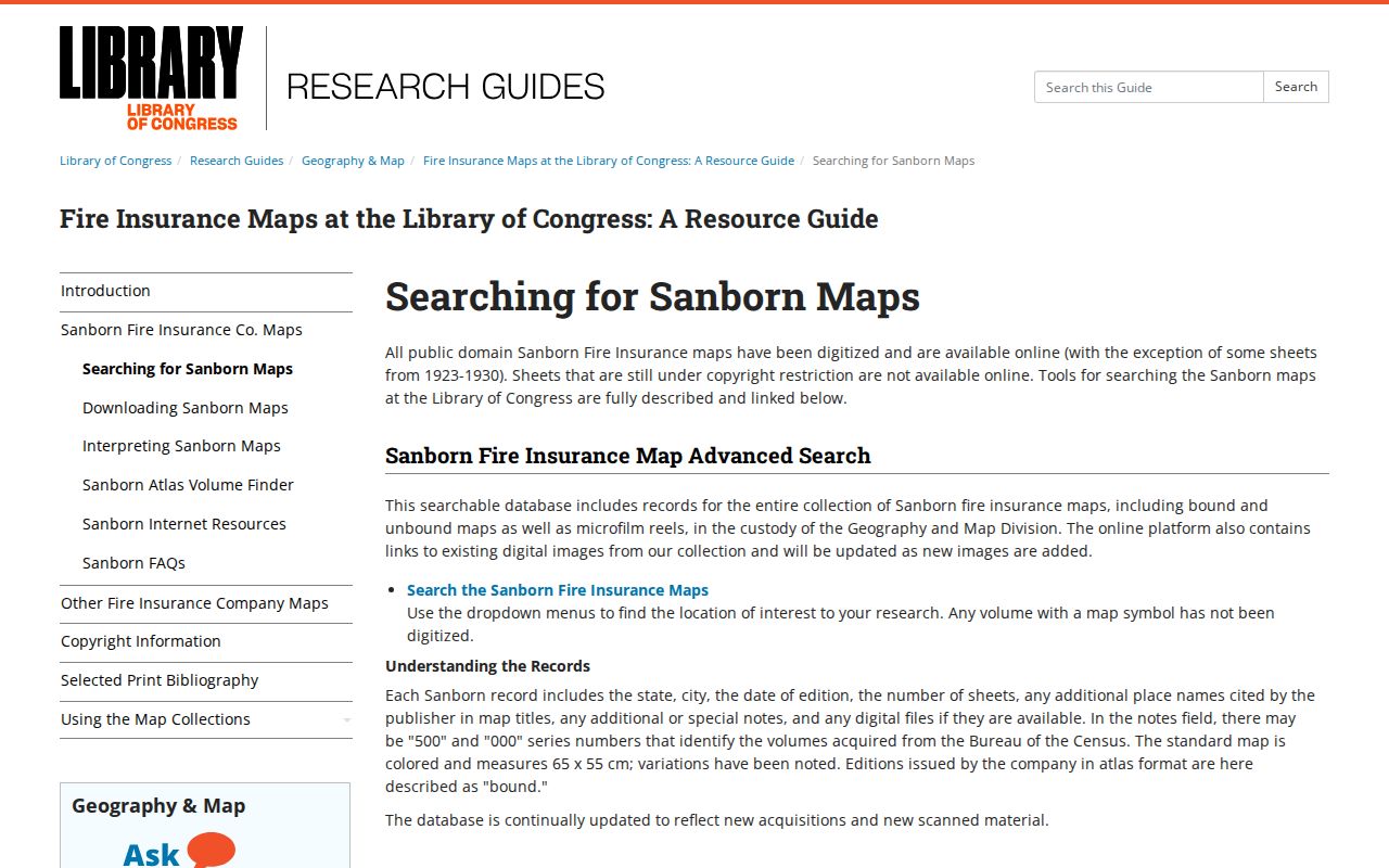
The map method can connect a sparse directory address to a historic building context.
Interest clue: Main divides north and south and First divides east and west in the original townsite, making the old grid a useful map resolver.
Grand Junction Surveys and Named Buildings
City historic surveys can join a named building to several older records. A survey record for 1255 Grand Avenue uses a 1916 Florida and William E. Graham entry, later Gibbs ownership clues, directory material, Sanborn maps, deeds, plats, and assessor cards. The sample does not create a universal house history. It shows how a building-specific PDF can provide a page and source path when a broad name search is too thin.
The Colorado State Archives finding aid adds historic Mesa series such as Clerk and Recorder deeds from 1886 to 1912, deeds and stock brands from 1883 to 1891, filed plats, election affidavits from 1894 to 1912, marriage applications and indexes, a District Court probate index, and reception books from 1916 to 1934. Series access and copy rules vary.
Open the Colorado State Archives search before viewing the capture below; it is a catalog and finding-aid route.
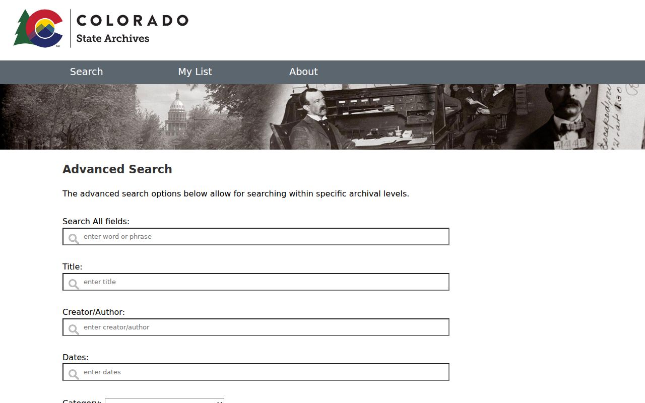
Keep archive number, series, title, date, page, and copy status with the address history.
Directories, Census, and Obituaries
Past households emerge when a directory year is paired with a Census image or index, newspaper issue, obituary, cemetery entry, probate clue, or recorded property event. Start with the exact printed address and name. Copy the entry, occupation, spouse or partner, office, and any forwarding or death notation. Then search a nearby directory year and an available Census year, keeping the event date separate from the publication date.
- Anchor the current parcel and legal description.
- Work backward through Landmark until a useful recorded party or earlier parcel appears.
- Use the library's city directory and newspaper image around each dated transfer or address form.
- Use Sanborn or a city survey to test the building and street relationship.
- Stop at an official archive, eligible certificate, court file, or custodian request when the clue needs formal proof.
The reviewed sources did not locate a standalone official Mesa obituary index or a complete official reverse directory run. A newspaper image may still be the best clue, but preserve issue and page. A cemetery result can corroborate an interment, while probate or a death record has its own eligibility and custodian rules.
Lawful house history. Previous residents research belongs to dated family, building, and local-history work. Do not use an old address trail to stalk, harass, intimidate, or harm a living person.
The Grand Junction city directory collections route explains the shelf, publisher spans, entry fields, and image checks without treating the collection as a current resident roll.
What Previous Residents Records Cannot Prove
A backward trail can show a recorded party, historic address, building use, newspaper mention, cemetery interment, or named survey clue. It cannot by itself prove continuous occupancy, family relationship, current location, or the identity of a same-name person. A mailing address is not a situs. An assessor owner is not every occupant. A directory office is not a home.
Road renames, annexation, parcel splits, old grid numbers, OCR errors, missing directory years, protected voters, restricted vital records, and login-only permits can all interrupt a search. Mark the exact gap and route to the official custodian. If the current question is about the parcel and its present record chain, use the Grand Junction address record workflow and keep the historical trail separate.
Note: A strong previous-residents record has a source URL, search date, page or identifier, relationship to the address, and a confidence note.